Hyperspectral and multispectral data fusion for monitoring biodiversity
- Project by: Nikolina Mileva
- August 8, 2024
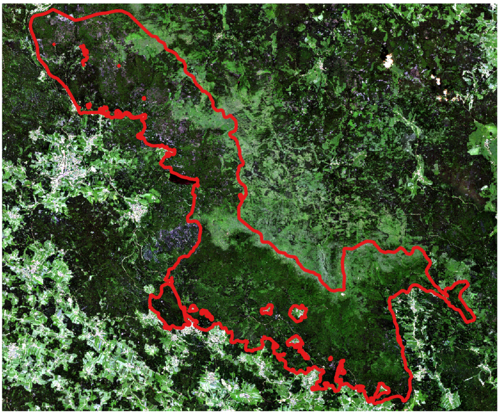
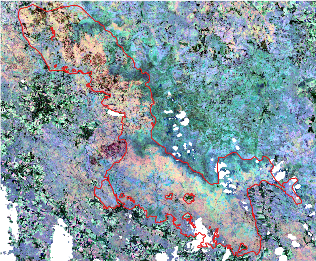
The increasing number of hyperspectral sensors have opened the path to more widespread application of imaging spectroscopy. While hyperspectral data is currently not available on a global scale, the upcoming SBG and CHIME missions will fill this gap collecting images with a ground sampling distance of 30m over the globe offering unprecedented abilities to observe biological diversity on Earth. Coupling this data with existing multispectral time series can give us a glimpse into how biodiversity has changed in the last decades marked by the sixth mass extinction. The purpose of our research is to explore the use of hyperspectral and multispectral data for measuring biodiversity indicators, determine their limitations in terms of spatial and spectral resolution and how these affect biodiversity measures. To validate the results, we make a link between “spectral” diversity and the actual number of species observed taking into account in-situ data of well studied biodiversity supersites. The outcome of this study will help us evaluate the feasibility of creating a new Earth observation based product for monitoring biodiversity.


This research is carried out by Nikolina Mileva.

